Vector layers in Web GIS from archive
The code below uses the Toolbox SDK, which you can install with pip install toolbox-sdk.
Additional Python examples: using SDK, using Requests. If you prefer other programming language or need full API reference, check out Toolbox OpenAPI as well.
Docs
This tool allows to create multiple vector layers in Web GIS at once using a ZIP archive of geodata files. For example, you can buy data on NextGIS Data and upload it to your Web GIS.
Input:
Web GIS - URL of the Web GIS, i.e. https://sandbox.nextgis.com
Username - your NextGIS ID;
Password
Resource group ID - Number at the end of the link to the folder. For Main resource group ID=0
ZIP archive - ZIP archive with GPKG, SHP or GeoJSON files. May contain sidecar QML file (To save all the styles as files use Save default QML plugin). May include subfolders.
QML file - optional, QML file of a style that will be added to all the loaded layers. Make sure the geometry type is correct.
Output:
Layers created in NextGIS Web in the selected resource group
Example:
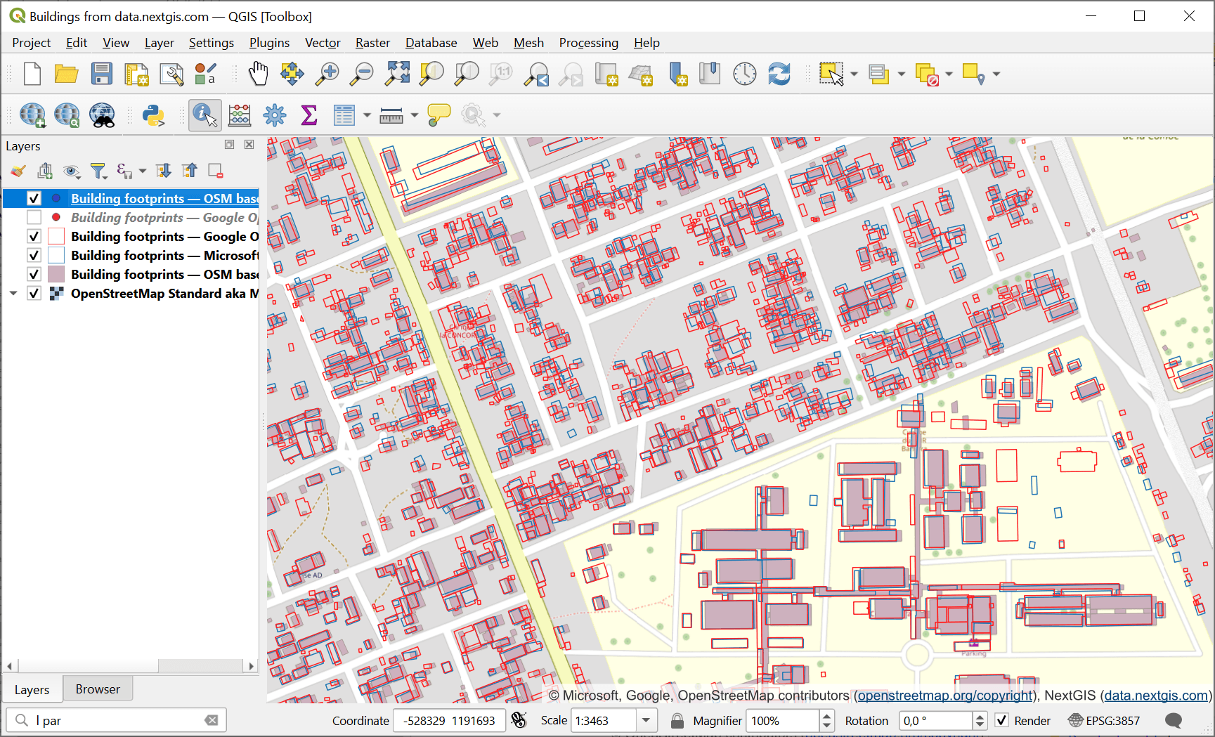
Building footprints data from NextGIS Data in QGIS
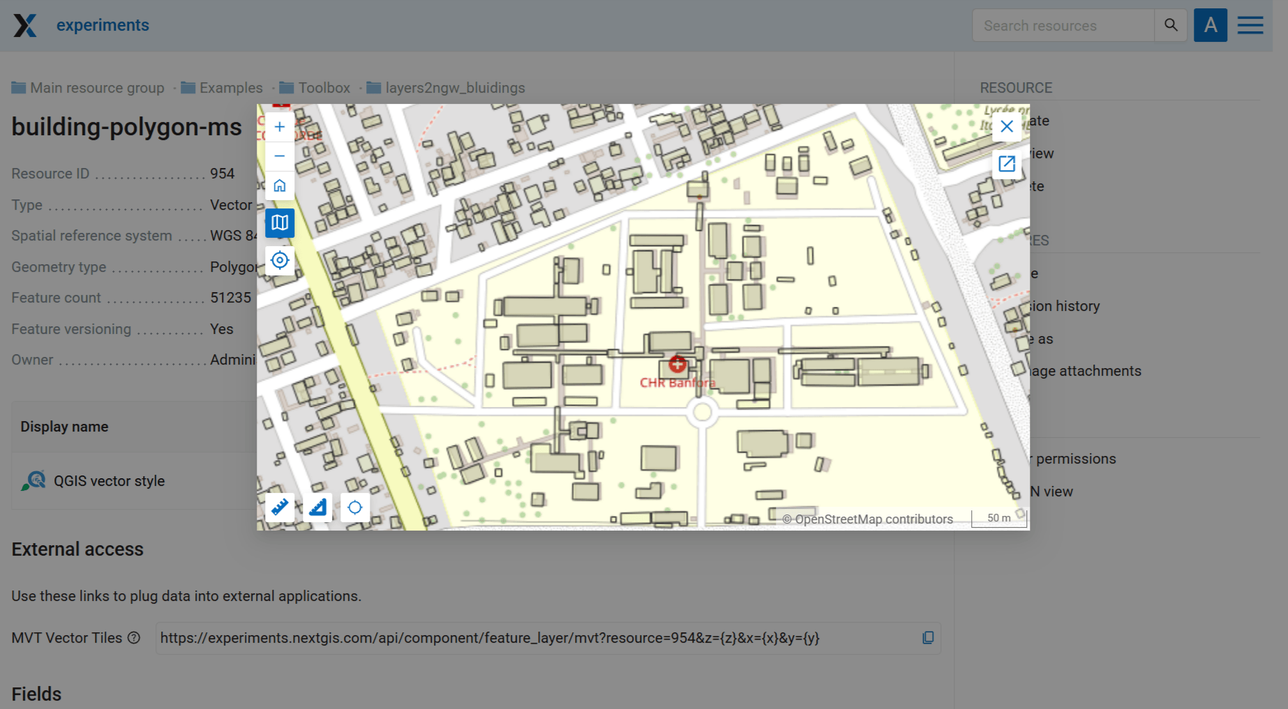
Preview of one of the layers in Web GIS
Try the tool in action
Click on the Demo button above the tool form. The fields are filled in with demo values.
Click on the Run button.