Search and save Landsat-L2C2 scene previews
The code below uses the Toolbox SDK, which you can install with pip install toolbox-sdk.
Additional Python examples: using SDK, using Requests. If you prefer other programming language or need full API reference, check out Toolbox OpenAPI as well.
Docs
Search Landsat-L2C2 scenes id list and donwload previews as GeoPackage.
Inputs:
WRS2 tile index(es) - single ID or comma-separated list e.g.
131026or131026,132026- max 50 IDs;Year(s) - single, list or range e.g.
2016,2020,2021-2024;Month(s) - single, list or range e.g.
1,5,9-12;Max cloud - Max cloud %, int or float e.g.
10or10.5;No preview - tick to download only vector footprints.
Outputs:
-
GeoPackage with previews or footprints, contains:
QGIS project;
Tile boundary;
Search area boundary;
Raster previews.
List of scene IDs.
Example:
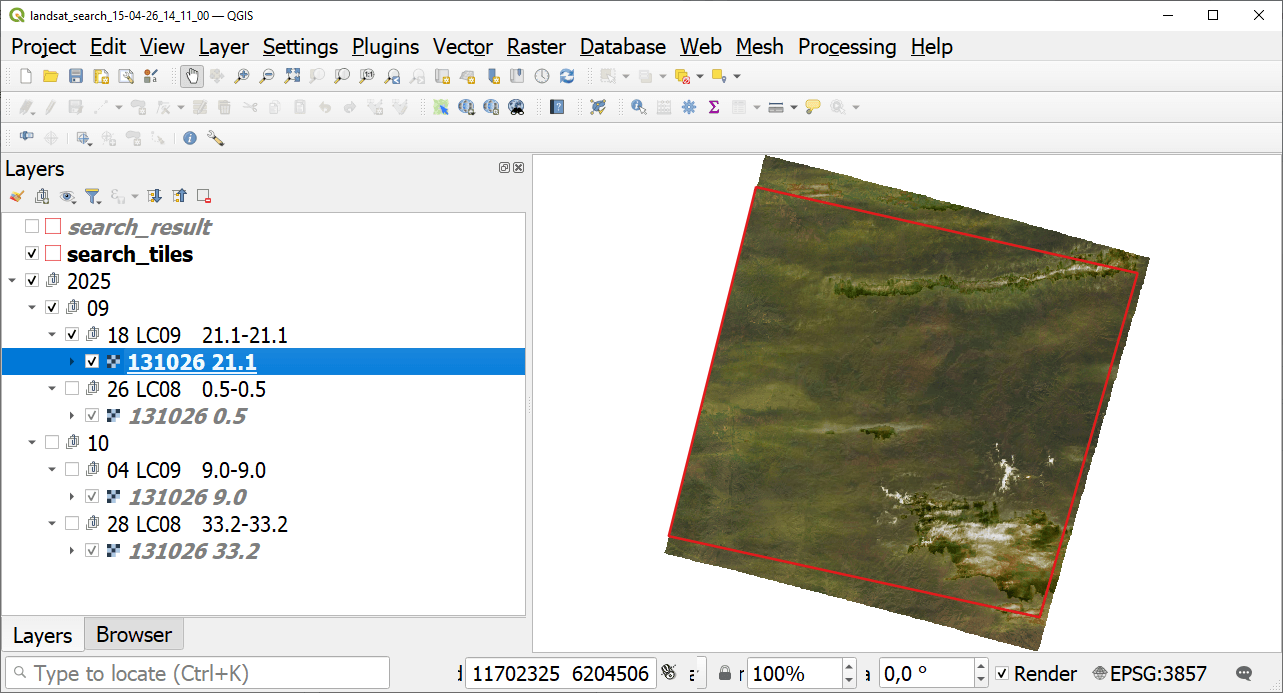
Example output: scene preview opened in QGIS
Try the tool in action
Click on the Demo button above the tool form. The fields are filled in with demo values.
Click on the Run button.