Search & download Planetary Computer
The code below uses the Toolbox SDK, which you can install with pip install toolbox-sdk.
Additional Python examples: using SDK, using Requests. If you prefer other programming language or need full API reference, check out Toolbox OpenAPI as well.
Docs
Search and download satellite imagery and elevation data from Microsoft Planetary Computer (Sentinel-2, Landsat, Copernicus DEM, etc.) for a given bounding box and time range. Returns a ZIP archive of GeoTIFF files.
Inputs:
-
Dataset collection. Satellite/elevation data collection to search:
Sentinel-2 Level-2A (10-60m, 2015-present) (sentinel-2-l2a)
Landsat Collection 2 Level-2 (30m, 1982-present) (landsat-c2-l2)
Copernicus DEM Global 30m (cop-dem-glo-30)
Copernicus DEM Global 90m (cop-dem-glo-90)
NAIP Aerial Imagery (US, 0.6-1m) (naip)
Sentinel-1 RTC SAR (10m) (sentinel-1-rtc)
IO Land Use/Land Cover 9-class (10m) (io-lulc-9-class)
ESA WorldCover (10m) (esa-worldcover)
NASADEM Elevation (30m) (nasadem)
ALOS World 3D DEM (30m) (alos-dem)
MODIS Surface Reflectance 8-Day (500m) (modis-09A1-061)
Bounding box - draw your area of interest on the map or enter coordinates in decimal degrees (West, South, East, North in WGS84);
Start date in ISO format, e.g.
2024-01-01;End date in ISO format, e.g.
2024-12-31Max cloud cover (%) (only for optical imagery like Sentinel-2, Landsat);
Max results - maximum number of scenes to search (between 1 and 100, default is 10);
Asset keys - comma-separated list of asset keys to download (e.g. ‘B04,B03,B02’ for Sentinel-2). If empty, all GeoTIFF assets are downloaded.
Outputs:
ZIP-archive with data;
Report.
Example:
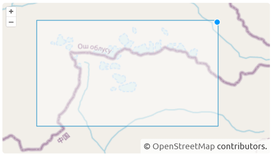
Example input
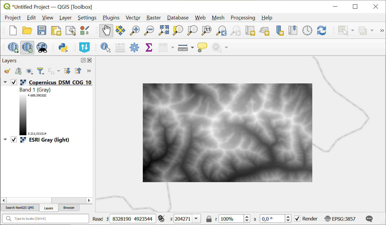
Example output
Try the tool in action
Click on the Demo button above the tool form. The fields are filled in with demo values.
Click on the Run button.