Layer intersection
The code below uses the Toolbox SDK, which you can install with pip install toolbox-sdk.
Additional Python examples: using SDK, using Requests. If you prefer other programming language or need full API reference, check out Toolbox OpenAPI as well.
Docs
Finds overlapping areas between features of 2 polygon layers.
Inputs:
Polygon layer 1
Polygon layer 2
Files should be in GDAL-supported format, e.g. GeoPackage, GeoJSON, MapInfo TAB, ESRI Shapefile (the last two - in ZIP-archive).
You can use this tool to clip line geometry. Upload the line layer to the field 1 and the clipping boundary to the field 2.
Outputs:
GeoPackage file with polygon layer containing only the overlapping areas.
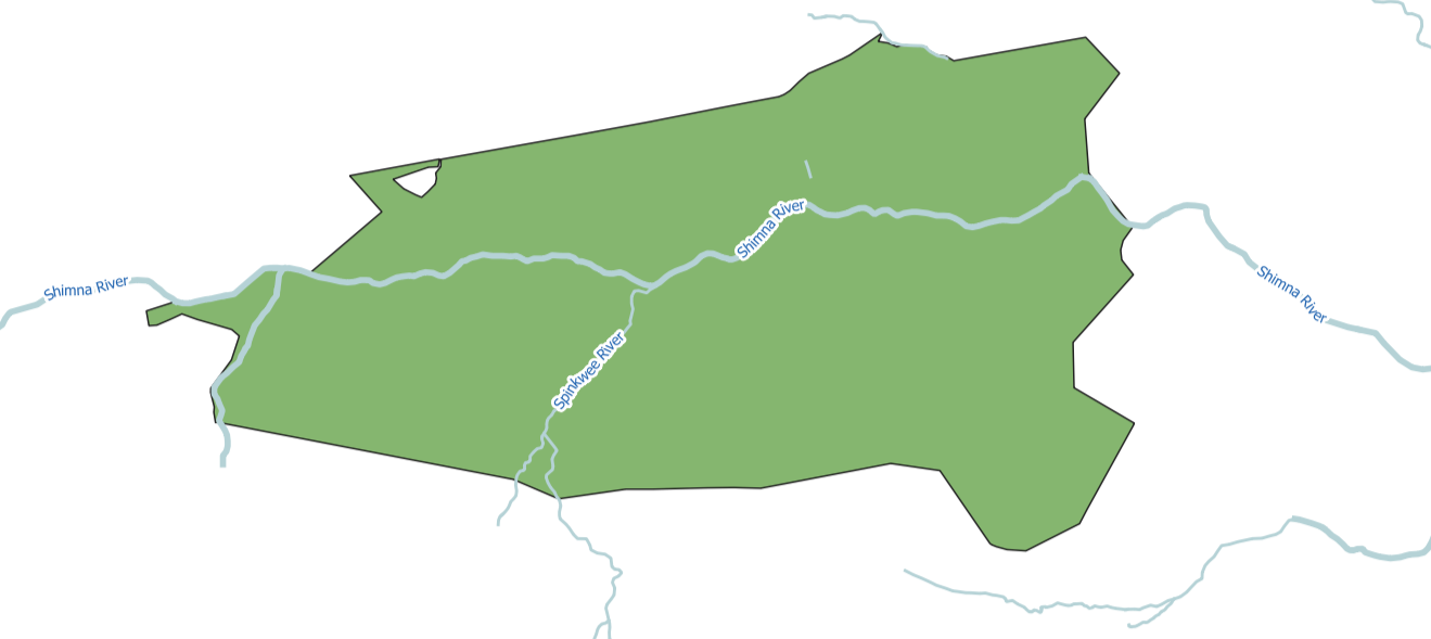
Example input
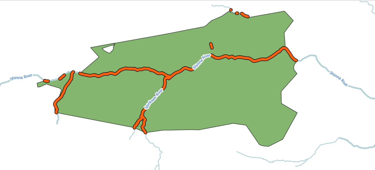
Example output
Try the tool in action
Click on the Demo button above the tool form. The fields are filled in with demo values.
Click on the Run button.