TROPOMI to GeoTIFF
The code below uses the Toolbox SDK, which you can install with pip install toolbox-sdk.
Additional Python examples: using SDK, using Requests. If you prefer other programming language or need full API reference, check out Toolbox OpenAPI as well.
Docs
The tool converts TROPOMI nitrogen dioxide data to GeoTIFF format.
Inputs:
TROPOMI data file in NetCDF format obtained from https://s5phub.copernicus.eu/dhus/#/home. Product type: L2__NO2__, Timeliness: Offline. Example of a file’s name: S5P_OFFL_L2__NO2____20190901T091635_20190901T105804_09761_01_010302_20190907T113505.nc
This dataset is available at https://browser.dataspace.copernicus.eu or s3://meeo-s5p/OFFL/L2__NO2___/ (access via AWS CLI).
Outputs:
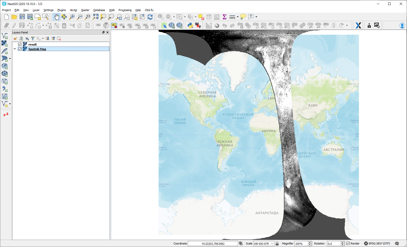
GeoTIFF output image
Interactive map with the result of the tool run:
Try the tool in action
Click on the Demo button above the tool form. The fields are filled in with demo values.
Click on the Run button.