Compute spectral index
The code below uses the Toolbox SDK, which you can install with pip install toolbox-sdk.
Additional Python examples: using SDK, using Requests. If you prefer other programming language or need full API reference, check out Toolbox OpenAPI as well.
Docs
Compute normalized difference spectral indices (NDVI, NDWI, NBR) from Sentinel-2 or Landsat time series. Produces temporal aggregates (mean, max, min, stddev, range) aligned to the terrain analysis grid.
Inputs:
Satellite Imagery Package - ZIP file from Search & download Planetary Computer containing Sentinel-2 or Landsat band GeoTIFFs and manifest.json with time_series;
-
Spectral Index. Type of normalized difference index to compute:
NDVI (Vegetation) (NDVI);
NDWI (Water) (NDWI);
NBR (Burn Ratio) (NBR);
Generate series - tick to generate series rasters (max, min, std etc.) if multiple inputs are provided.
Outputs:
ZIP archive with spectral index aggregates, statistics, and manifest;
Human-readable summary of the spectral index results;
JSON manifest string describing all outputs.
Example:
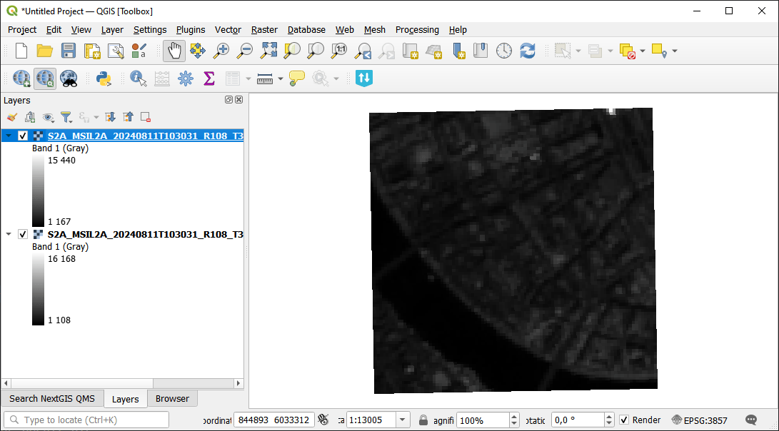
Example input
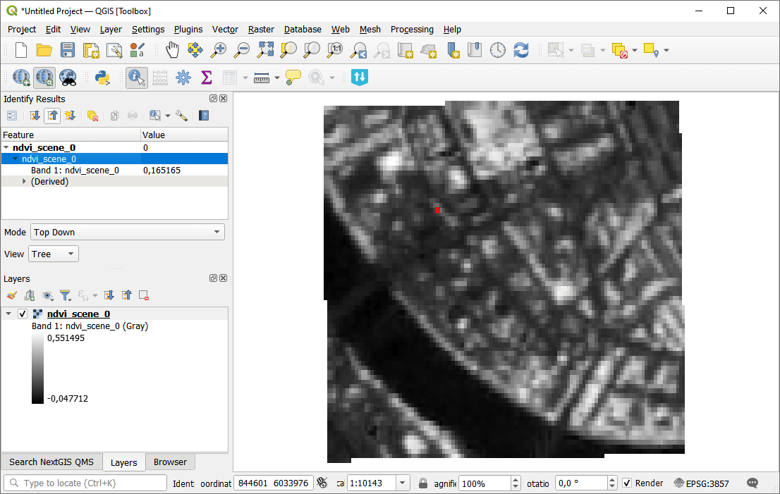
Example output
Try the tool in action
Click on the Demo button above the tool form. The fields are filled in with demo values.
Click on the Run button.