Raster to NGRC
The code below uses the Toolbox SDK, which you can install with pip install toolbox-sdk.
Additional Python examples: using SDK, using Requests. If you prefer other programming language or need full API reference, check out Toolbox OpenAPI as well.
Docs
This tool generates NGRC raster tileset from any input GDAL-supported raster. The result can be added to NextGIS Mobile.
Inputs:
Raster dataset - RGB, RGBA, single-band gray or single-band with palette GDAL-compatible raster;
Palette file - TXT file with color scheme of each raster values located in a separate line. Order: Value Red Green Blue Opacity. For example, for a value of 23, assigning a completely opaque lilac color looks like this:
23 200 162 200 255. Opacity ranges from 0 to 255, 0 - completely transparent, 255 - completely opaque. Use an empty text file to keep the original palette (for single-band with palette) and for RGB / RGBA rasters;Zoom levels - the levels at which the tiles will be displayed. This refers to standard zoom levels, for example, as for OSM maps. Possible input values: a number indicating one level, for example, 10; a range of levels, for example, 8-14; hyphen - for auto-selection of levels.
Outputs:
NGRC file with tileset.
Example of the tool’s work:
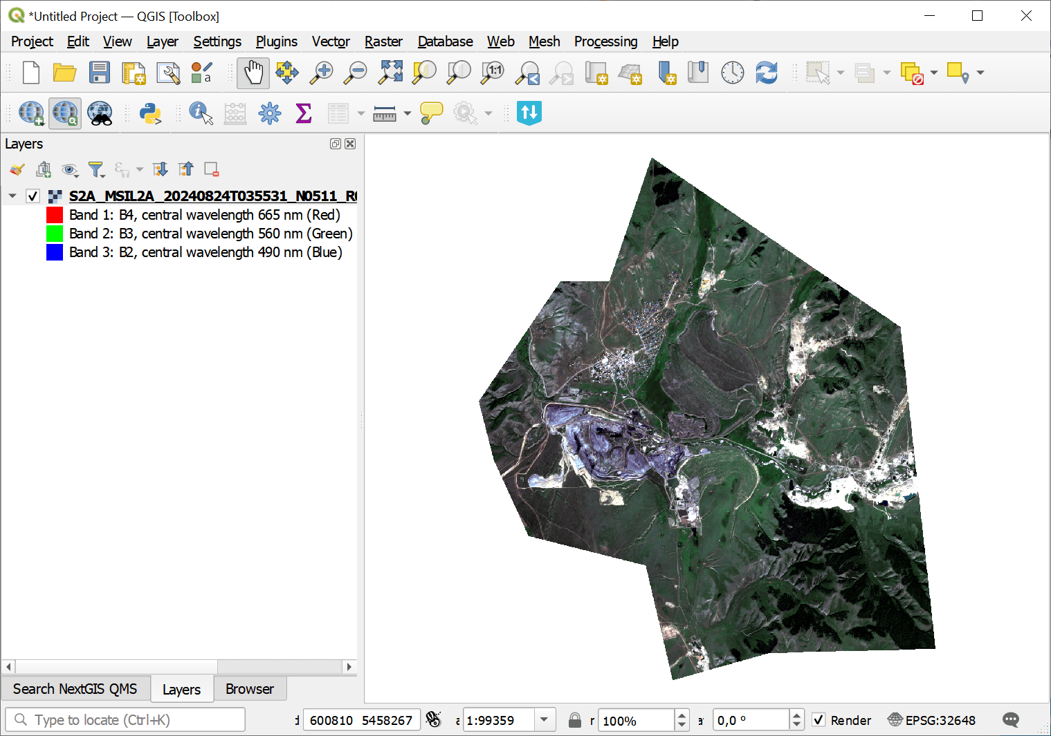
Example input
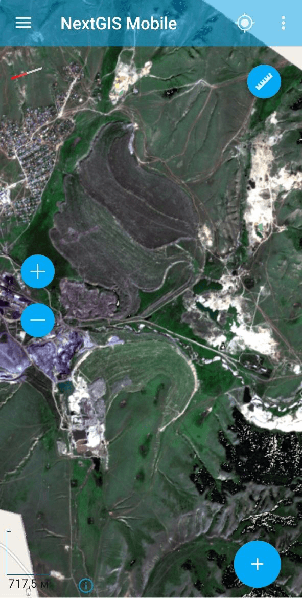
Example output
Try the tool in action
Click on the Demo button above the tool form. The fields are filled in with demo values.
Click on the Run button.