Generate raster tiles from QGIS project
The code below uses the Toolbox SDK, which you can install with pip install toolbox-sdk.
Additional Python examples: using SDK, using Requests. If you prefer other programming language or need full API reference, check out Toolbox OpenAPI as well.
Docs
Generate zipped raster tiles from an archive with QGIS project and data.
Inputs:
ZIP file containing QGIS project and data files;
Extent. If empty, a combined extent of all layers will be used. It may unexpectedly calculate an extent of the entire planet, then the tool will take a lot of time to process. Options to set the extent are: 1) upload a file with polygons - it’s handy if you need tiles for a complex area, along a coastline, for example, 2) mark it on a map, 3) draw it on the map and then correct the numbers or 4) enter the extent manually following the format ‘xmin, xmax, ymin, ymax’. Enter coordinates in WGS 84 (EPSG:4326), for example
-7.3,42.1,10.5,50.5;Min zoom level - between 0 and 25, the default value is 0;
Max zoom level - between 0 and 25, the default value is 9;
Tile image format - if not specified generates PNG tiles. You can also enter
JPG;Background color in RGBA, if not specified, 0,0,0,0 (transparent) will apply;
DPI - image resolution in dots per inch, between 48 and 600, the default value is 96;
Metatile size - between 1 and 20, the default value is 4;
JPEG quality - the level of image compression between 1 (more compression, low quality) and 100 (max quality), the default is moderately compressed, 75;
Tile height in pixels, if not specified, 255 will apply;
Tile width in pixels, if not specified, 255 will apply.
Output:
ZIP archive with tile images organized into folders.
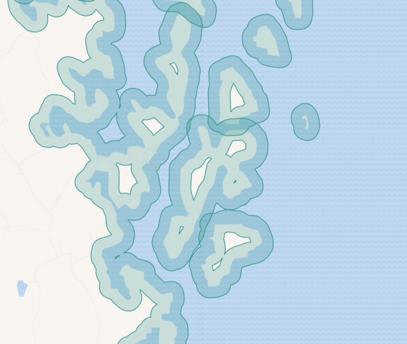
Example polygons with complicated geometry used to calculate the extent
Try the tool in action
Click on the Demo button above the tool form. The fields are filled in with demo values.
Click on the Run button.