Check geometries (QGIS)
The code below uses the Toolbox SDK, which you can install with pip install toolbox-sdk.
Additional Python examples: using SDK, using Requests. If you prefer other programming language or need full API reference, check out Toolbox OpenAPI as well.
Docs
Checks a vector file for geometry validity using the QGIS checkvalidity algorithm.
Inputs:
ZIP archive with vector files in single-file formats (for example, GeoPackage, GeoJSON, etc.).
Note
Even if you have one file only, it needs to be in a ZIP archive.
Outputs:
CSV file with a list of errors and coordinates;
GeoJSON file with points marking the location of the errors.
Example:
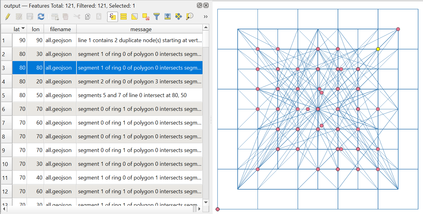
Example output. Points mark the geometry errors
Try the tool in action
Click on the Demo button above the tool form. The fields are filled in with demo values.
Click on the Run button.