Web map to image
The code below uses the Toolbox SDK, which you can install with pip install toolbox-sdk.
Additional Python examples: using SDK, using Requests. If you prefer other programming language or need full API reference, check out Toolbox OpenAPI as well.
Docs
Save Web map as a PNG image file.
Inputs:
Link to Web map on NextGIS Web platform. Example: https://demo.nextgis.com/resource/7796/display?panel=layers. Open the Web Map and copy the link from the browser address bar.
By default, the image contains what’s visible for Guest, i.e. anyone who’s not logged in. To check the visibility of the data, click on the user icon in the top right and click “Sign out”.
If you want to use a private Web Map, enter the credentials:
Web GIS address - URL of your Web GIS, e.g. https://demo.nextgis.com
Login - NextGIS ID email address;
Password
You can also configure the image size:
Output width in pixels. Optional. Default: 2048.
Output height in pixels. Optional. Default: 1152.
The initial extent of the Web Map is fit into the rectangle of the indicated proportions.
Outputs:
Image in PNG format
Example:
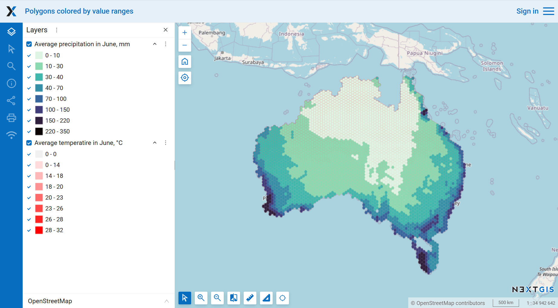
Map in the web interface of the Web GIS
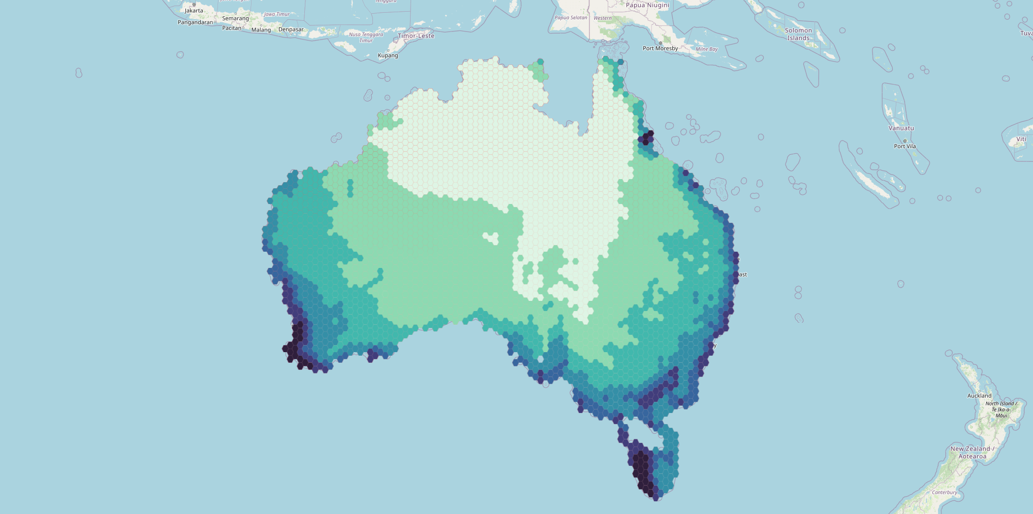
Example output image
Try the tool in action
Click on the Demo button above the tool form. The fields are filled in with demo values.
Click on the Run button.