Erosion Susceptibility Analysis
The code below uses the Toolbox SDK, which you can install with pip install toolbox-sdk.
Additional Python examples: using SDK, using Requests. If you prefer other programming language or need full API reference, check out Toolbox OpenAPI as well.
Docs
RUSLE-based erosion susceptibility analysis using LS-factor, STI, SPI, profile curvature, and slope. Produces an Erosion Susceptibility Index (ESI) scaled 0-100 with 5-level classification.
Inputs:
Terrain Analysis Package (ZIP). ZIP file from Comprehensive Terrain Analysis containing DEM, slope, flow accumulation, curvature, STI, SPI, and manifest.json
Weight: LS-Factor. Weight for the LS-factor indicator (default: 0.35)
Weight: STI. Weight for the Sediment Transport Index (default: 0.25)
Weight: SPI. Weight for the Stream Power Index (default: 0.15)
Weight: Curvature. Weight for the profile curvature indicator (default: 0.10)
Weight: Slope. Weight for the slope indicator (default: 0.15)
Hotspot Threshold. ESI value above which areas are classified as hotspots (default: 65)
Spectral Indices Package (ZIP). Optional ZIP from spectral_indices with vegetation index aggregates. When provided, a vegetation indicator is added to the weighted overlay.
Weight: Vegetation Index. Weight for the vegetation index indicator (default: 0.10). Only used when spectral_zip is provided. Other weights are scaled down proportionally.
Outputs:
Erosion Analysis Package (ZIP). ZIP archive with erosion susceptibility rasters, vectors, statistics, and manifest
Summary. Human-readable summary of the erosion analysis results
Manifest JSON. JSON manifest string describing all outputs
Example:
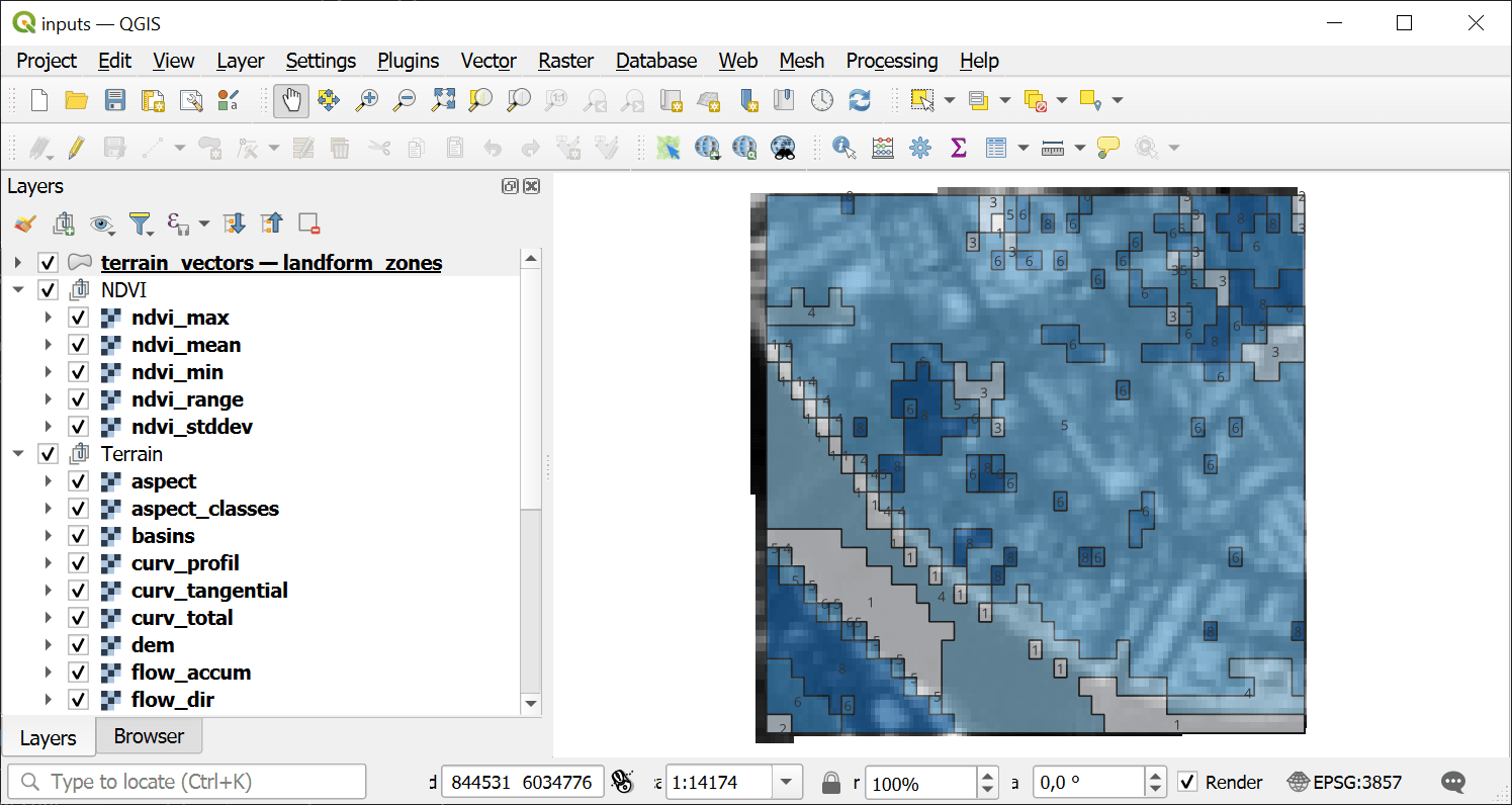
Example input
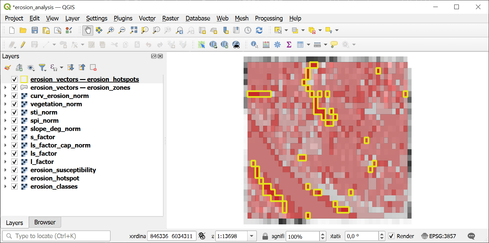
Example output
Try the tool in action
Click on the Demo button above the tool form. The fields are filled in with demo values.
Click on the Run button.