Points inside polygons
The code below uses the Toolbox SDK, which you can install with pip install toolbox-sdk.
Additional Python examples: using SDK, using Requests. If you prefer other programming language or need full API reference, check out Toolbox OpenAPI as well.
Docs
Calculate coorinates of a point guaranteed to be inside a polygon and add the calculated coordinates to point_X, point_Y attributes. PointOnSurface method.
Inputs:
Polygon vector layer in one of the formats, supported by GDAL, e.g. Shapefile in ZIP-archive, GeoJSON, GeoPackage.
Outputs:
ZIP with polygonal shapefile with two fields added: point_X, point_Y
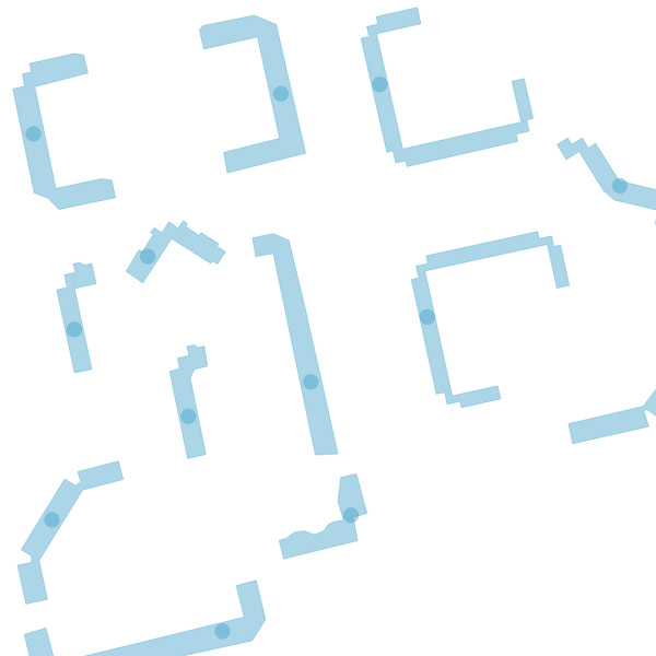
Visualization of the calculated centroids
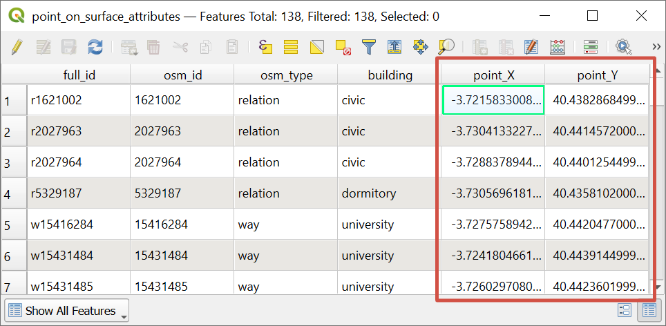
Resulting feature table of the layer with added attributes
Try the tool in action
Click on the Demo button above the tool form. The fields are filled in with demo values.
Click on the Run button.